
- High-Performance Doors
-
- Applications
-
-
-
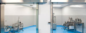
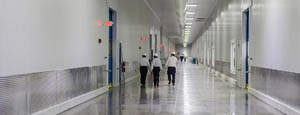
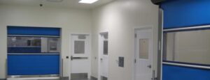
- Clean Room
Stainless steel or composite materials help maintain clean rooms.
-
-
- Coolers
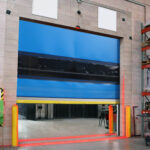
Quick opening speeds & tight seals for temperature control.
-
-
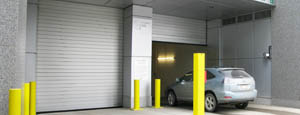
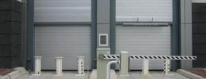
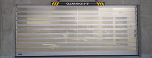
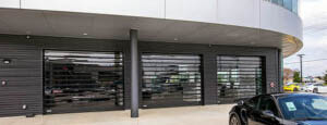
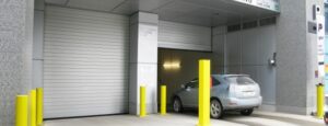
- Parking
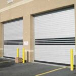
Improve security & traffic flow and enhance architectural style.
-
-
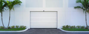
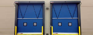
- Hurricane Zone
Withstand winds up to 175 mph and comply with the Florida Building Code.
-
-
-
-
- USDA / FDA / cGMP
Increase productivity & address stringent USDA, FDA & cGMP requirements.
-
-
- Freezers
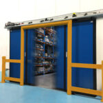
High-speed & perimeter seals minimize the air exchange between areas.
-
-
- Security
High speed & durability ensure secure access.
-
-
- Ventilation
Perforated or screen door panels allow improved air circulation.
-
-
-
-
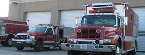
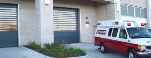
- Fire Station Emergency Response
When time is of the essence, high speed and reliability are crucial.
-
-
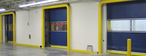
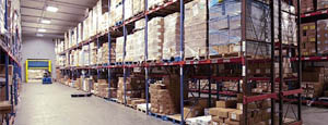
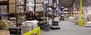
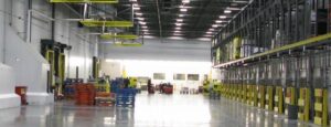
- Warehousing
Fast cycle times and secure seals keep environments separated.
-
-
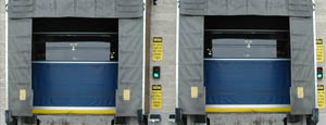
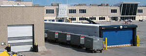
- Loading Dock
Rugged design & secure seal for oversized openings.
-
-
- Large Openings
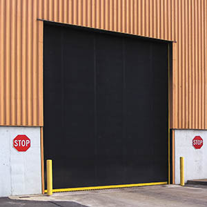
Break-away functionality with rugged design seals oversized openings.
-
-
-
-
- Heavy Equipment
Withstands challenges of heavy equipment and fleet truck/car wash environments.
-
-
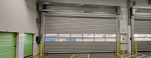
- Self-Storage
Fast opening speeds and reliable, durable construction keep facilities secure and protected.
-
-
- Industries
-
-
-
- Automotive Dealerships
Reduce energy costs, increase productivity and comfort and enhance customer perception.
-
-
- Cold Storage & Processing
Increase productivity and operational efficiency while reducing energy and maintenance costs.
-
-
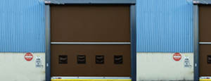
- Parking
We offer solutions for Apartment / Condo & Loft, Standalone Parking Facilities and Office Buildings
-
-
-
-
- Food & Beverage
Doors specifically engineered for USDA/FDA and cGMP environments, and assured compliance for uncompromising performance.
-
-
- Mfg/Dist/Warehousing
A complete product line allows facilities to increase efficiency and safety and reduce maintenance and energy costs.
-
-
- Government
Ensure effective security and environmental controls are maintained for critical government operations.
-
-
-
-
- Transit
Keep operations running smoothly and efficient while reducing energy and maintenance costs.
-
-
- Pharma, Nutraceutical & Biotech
Doors that offer quick, secure access, environmental control and reliability for life science facilities.
-
-
- Support Resources
- Parts
- Contact Us
- Blog/News
- Why Rytec
- Sales Rep Locator
- Careers
- Dealers
- Architectural Resources

Top Lightning Alert Device Suppliers Worldwide?
Lightning remains a serious operational risk for airports, construction sites, sports venues, factories, and outdoor events. The World Meteorological Organization’s Atlas of Mortality and Economic Losses from Weather, Climate and Water Extremes reports that weather-related hazards caused more than two million deaths between 1970 and 2019. Lightning is only one component, but its sudden onset makes local warning especially important.
This guide examines leading Lightning Alert Device suppliers across North America, Europe, Asia, and other regional markets. It considers detection range, warning lead time, sensor accuracy, false-alarm control, network connectivity, software usability, and after-sales support. These factors matter when a supervisor must stop crane operations, clear a football field, or protect workers near exposed metal structures. The analysis also refers to IEC 62793:2020, which addresses thunderstorm warning systems, and the World Meteorological Organization’s guidance on meteorological observing practices.
Independent performance evidence deserves attention. Vaisala’s annual lightning reports demonstrate how detection networks reveal changing strike patterns and regional differences. NOAA’s National Weather Service also emphasizes that lightning can occur beyond visible rainfall, a detail many buyers underestimate. A device that only reacts to nearby rain is not enough.
Still, supplier comparisons are rarely perfect. Public test data can be limited, and marketing claims may use different measurement methods. No supplier is perfect. Buyers should request field references, calibration records, maintenance terms, and documented alert thresholds before purchasing. This overview therefore focuses on verifiable capability, practical deployment experience, and transparent technical support rather than brand visibility alone.
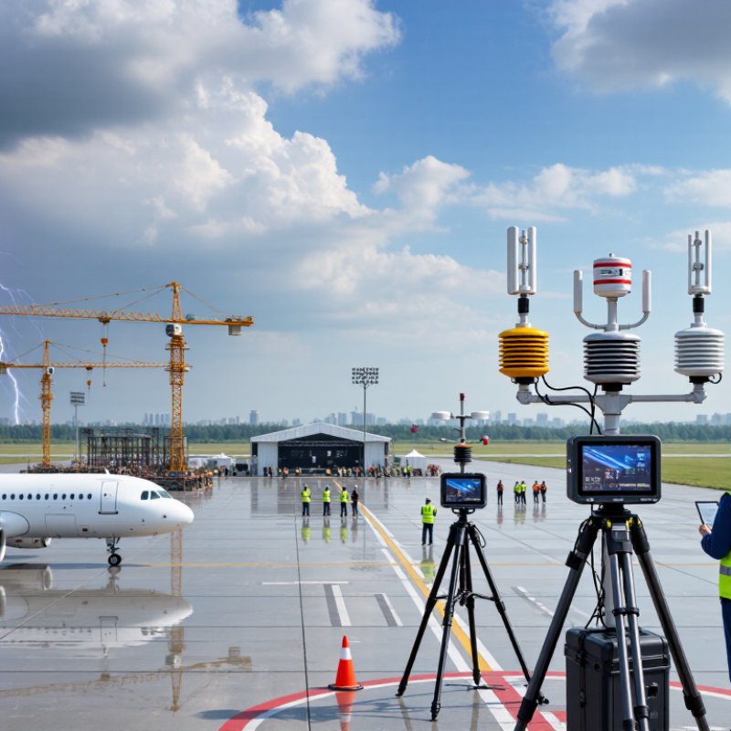
Table of Contents [Hide]
Lightning Alert Technology: Detection Range, Accuracy, and Alert Latency
Lightning alert devices differ sharply in detection range, accuracy, and alert latency. These three factors should guide every supplier evaluation.
Detection range
Detection range depends on sensor design, terrain, atmospheric noise, and network access. Some systems identify nearby electrical activity, while others monitor distant strikes through connected regional networks. A quoted range is not enough. Ask whether it applies to open farmland, dense cities, or mountainous sites. Buildings and hills can weaken local signals.
Accuracy
Accuracy requires careful testing. A reliable device should distinguish lightning from harmless electrical interference and report strike distance with clear uncertainty limits. Look for documented field trials, calibration procedures, and performance data across different weather conditions. In my experience, outdoor installation quality often matters as much as the sensor itself. Poor grounding can create false alerts. Small details matter.
Alert latency
Alert latency is the time between detection and notification. A delay of several seconds may affect evacuation decisions, industrial work, or outdoor events. Wired systems can respond quickly, while cloud-connected devices may depend on mobile coverage and server processing. Ask suppliers to publish typical and worst-case latency, not only ideal laboratory results. Real-world timing is rarely perfect. This deserves honest review. Testing should include weak network conditions, heavy rain, and repeated strike activity, because a system that performs well once may struggle during a crowded storm.