
- High-Performance Doors
-
- Applications
-
-
-
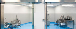
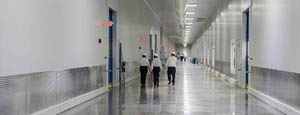
- Clean Room
Stainless steel or composite materials help maintain clean rooms.
-
-
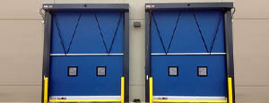
- Coolers
Quick opening speeds & tight seals for temperature control.
-
-
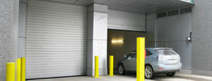
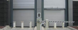
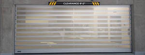
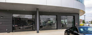
- Parking
Improve security & traffic flow and enhance architectural style.
-
-
- Hurricane Zone
Withstand winds up to 175 mph and comply with the Florida Building Code.
-
-
-
-
- USDA / FDA / cGMP
Increase productivity & address stringent USDA, FDA & cGMP requirements.
-
-
- Freezers
High-speed & perimeter seals minimize the air exchange between areas.
-
-
- Security
High speed & durability ensure secure access.
-
-
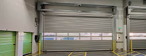
- Ventilation
Perforated or screen door panels allow improved air circulation.
-
-
-
-
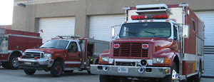
- Fire Station Emergency Response
When time is of the essence, high speed and reliability are crucial.
-
-
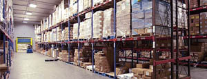
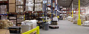
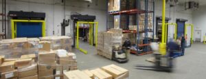
- Warehousing
Fast cycle times and secure seals keep environments separated.
-
-
- Loading Dock
Rugged design & secure seal for oversized openings.
-
-
- Large Openings
Break-away functionality with rugged design seals oversized openings.
-
-
-
-
- Heavy Equipment
Withstands challenges of heavy equipment and fleet truck/car wash environments.
-
-
- Self-Storage
Fast opening speeds and reliable, durable construction keep facilities secure and protected.
-
-
- Industries
-
-
-
- Automotive Dealerships
Reduce energy costs, increase productivity and comfort and enhance customer perception.
-
-
- Cold Storage & Processing
Increase productivity and operational efficiency while reducing energy and maintenance costs.
-
-
- Parking
We offer solutions for Apartment / Condo & Loft, Standalone Parking Facilities and Office Buildings
-
-
-
-
- Food & Beverage
Doors specifically engineered for USDA/FDA and cGMP environments, and assured compliance for uncompromising performance.
-
-
- Mfg/Dist/Warehousing
A complete product line allows facilities to increase efficiency and safety and reduce maintenance and energy costs.
-
-
- Government
Ensure effective security and environmental controls are maintained for critical government operations.
-
-
-
-
- Transit
Keep operations running smoothly and efficient while reducing energy and maintenance costs.
-
-
- Pharma, Nutraceutical & Biotech
Doors that offer quick, secure access, environmental control and reliability for life science facilities.
-
-
- Support Resources
- Parts
- Contact Us
- Blog/News
- Why Rytec
- Sales Rep Locator
- Careers
- Dealers
- Architectural Resources



10 Best Firefighting Drones for Wildfire Response in 2026
Wildfires are moving faster, burning hotter, and challenging crews across larger landscapes. In this environment, Firefighting Drones offer more than dramatic aerial footage. They provide thermal images, live mapping, and safer access to steep or burning terrain.
As public-safety UAS expert Charles Werner puts it, “Drones are the first responder’s eyes in the sky.” That perspective matters during the first critical minutes. A drone can reveal hidden heat beneath smoke, identify shifting fire edges, and help commanders protect evacuation routes. It can also monitor water drops, damaged infrastructure, and isolated hotspots after the main flames pass.
This guide examines the 10 Best Firefighting Drones for Wildfire Response in 2026. The selection considers thermal-camera quality, flight endurance, wind stability, obstacle sensing, communications, payload flexibility, and field serviceability. Those details decide whether a drone remains useful after dust, ash, and long missions.
Not every advanced model belongs on a fireline. Some aircraft promise impressive range but depend heavily on network coverage. Others carry strong sensors yet struggle with battery logistics. A few are expensive, complicated, or too delicate for repeated deployment.
The best choice depends on the mission. A small drone may scout a narrow canyon quickly. A larger platform may support thermal mapping for hours. Neither replaces trained firefighters, incident commanders, or sound judgment. Technology can fail. Smoke can confuse sensors. Batteries can drain faster than expected.
That uncomfortable reality deserves attention. Firefighting Drones are powerful decision-support tools, not magical solutions. Their value comes from disciplined crews, realistic training, reliable maintenance, and careful interpretation of every image.
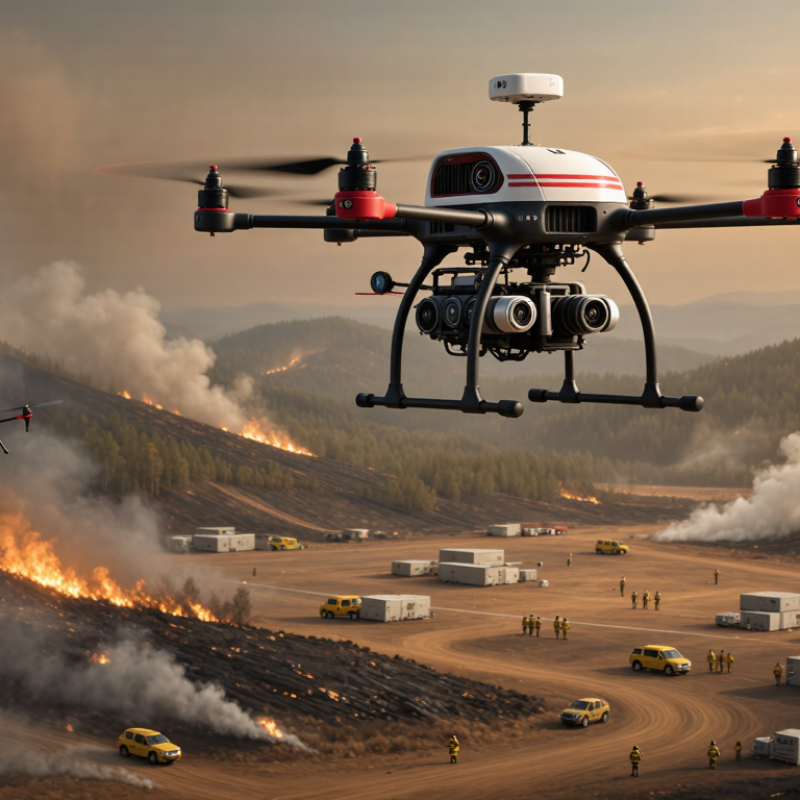
Table of Contents [Hide]
Wildfire Response Drones: Roles, Capabilities, and Selection Criteria
Wildfire response drones extend the reach of crews working near smoke, steep slopes, and unstable firelines. Their roles include thermal scouting, perimeter mapping, hotspot detection, and real-time video support. A drone can show heat beneath tree cover before flames become visible. It can also identify blocked roads, isolated structures, and changing wind conditions. Still, aerial data must support trained incident commanders, not replace them.
Capability matters more than impressive specifications. Look for stable flight in strong winds, useful endurance, and reliable operation around smoke. Thermal sensors should distinguish warm rocks from active hotspots. High-resolution cameras help inspect power lines, roofs, and access routes. A secure data link is essential when terrain interrupts communications. Night operation can improve coverage, but pilots need clear procedures and strong situational awareness.
Selection should begin with the mission, not the aircraft. A compact system may suit rapid reconnaissance, while a heavier platform can carry additional sensors or firefighting payloads. Evaluate launch time, battery changes, weather resistance, maintenance needs, and training requirements. Test the drone with gloves, low visibility, and noisy command vehicles. Field trials often expose weaknesses that brochures hide. Longer flight time is not always better if charging takes too long. Teams should also question whether automated mapping remains accurate through dense smoke, because it may not.